The Territory

The entire area is part of the “Mountain Community of Monte Santa Croce” and the protected area of the “Regional Volcanic Park of Roccamonfina and Foce Garigliano”.

The territory is dominated by the volcanic apparatus of Roccamonfina, older than Vesuvius, whose shape and majesty is reminiscent of, consisting of an outer crater circle averagely 6 km wide, defined at the highest points by Mount S. Croce (1005 m) and Mount Làttani (810 m) and some volcanic cones with a semi-spherical dome profile, such as Monte Atano in the village of Casi in Teano, Colle Friello, in the municipality of Conca della Campania and Monte Ofelio in the municipality of Sessa Aurunca.
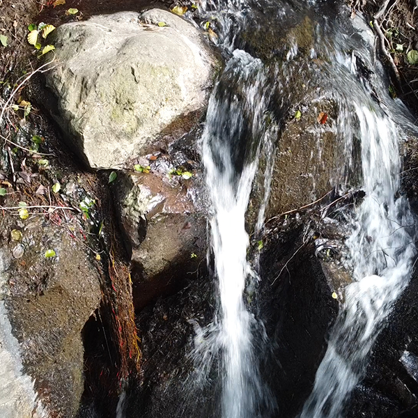
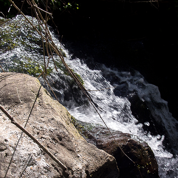
The entire territory is rich in water, which has shaped its morphology.
To the north – west the Garigliano river delimits a natural regional border with Lazio.
The Garigliano river, digs its bed between the volcanic soils of Roccamonfina and the limestone soils of the Aurunci Mountains.
It arises from the confluence of the Liri River with the Gari River or Rapido; it has deep waters and fast current. Its winding path is softened by the presence of robust poplars and willows on the banks.

Cascata dall'alto
Cascata

In addition to the Garigliano, the two most important waterways of this area are the Savone River and the Peccia River.
To the South West, the area is bordered by the soft and sunny coasts of the Domitian Riviera, in the municipality of Sessa Aurunca.
The landscape offers gentle hills and an extremely interesting environment, where you can observe spectacular waterfalls and important streams, deep canyons on the bottom of which flow winding streams; remember the ditch of Cocuruzzo that defines the boundaries of the estate San Teodoro.
The main environmental resource is the landscape, in this context, rocks with curious and unique shapes recall the past volcanic activity of the area, now covered with chestnut trees, olive groves and vineyards. The luxuriant development of the chestnut has been favored, over time, by the mineralogical composition of the lava soils of Roccamonfina, optimal for the nutritional needs of this species.

The area is located near the main arteries of communication of the Roman age and in particular the Via Appia and the Via Latina, currently S.S. Casilina where there were some very important agricultural settlements of the classical age. Even today, along the present Casilina, it is in fact possible to find ancient